IBM Research · 2017
The geospatial AI that found new Nazca Lines
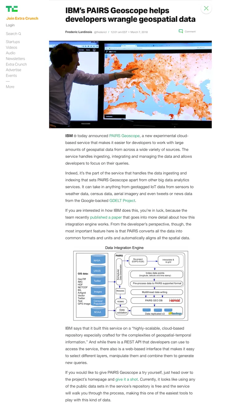
I led the design sprints that created IBM Geospatial Analytics, where Watson AI cross-references satellite, weather and sensor data. Archaeologists later used it to find 143 new Nazca geoglyphs.
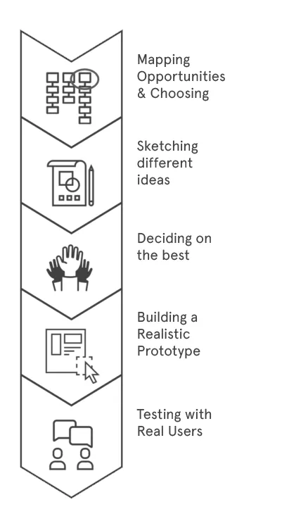
Switching altitude
IBM’s researchers had petabytes of geospatial data and Watson AI to read it. Our workshops moved them from abstract science to a product people could use.

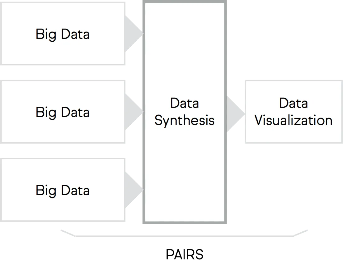
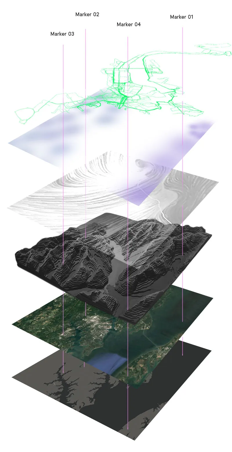
Every dataset is a layer
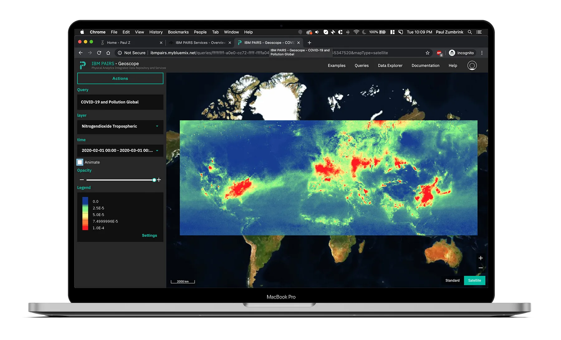
Satellite imagery, weather, soil, crops and sensors each became a layer. Watson cross-references them, so one question can span every dataset at once.
Maps that tell stories
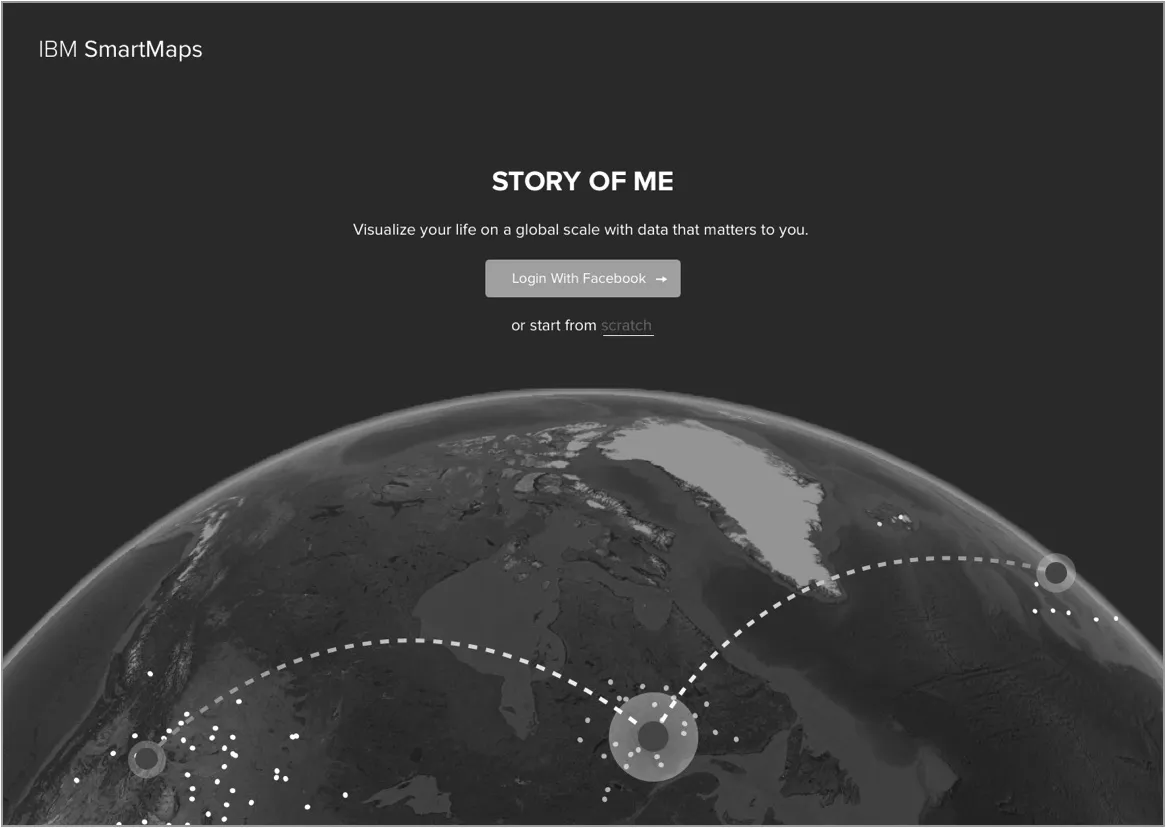
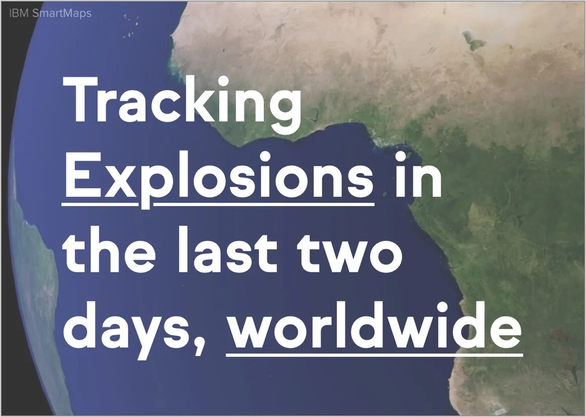
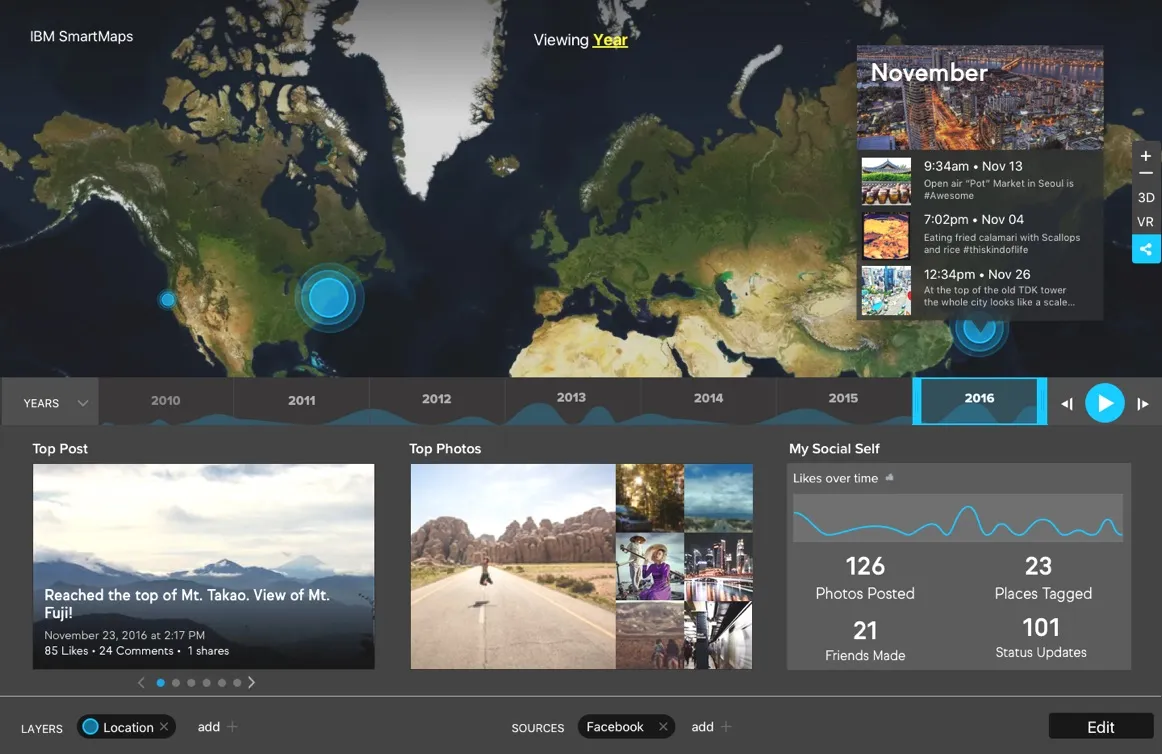
We prototyped fast to find which stories the AI could pull out of the data best, from crop stress to animal migration.
Ask the planet a question
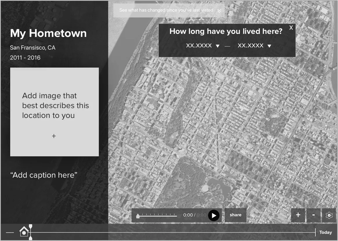
Intersecting datasets became as easy as a Photoshop blend mode, with Watson surfacing the patterns, and a timeline let anyone scrub through years of change.
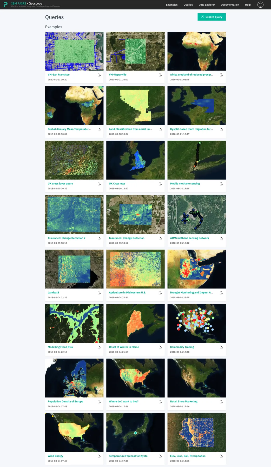
From research to product
The MVP got funded, left IBM Research as PAIRS Geoscope, and lives on as IBM Geospatial Analytics in the Environmental Intelligence Suite, used from agriculture to insurance.
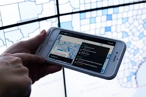
Finding the Nazca Lines
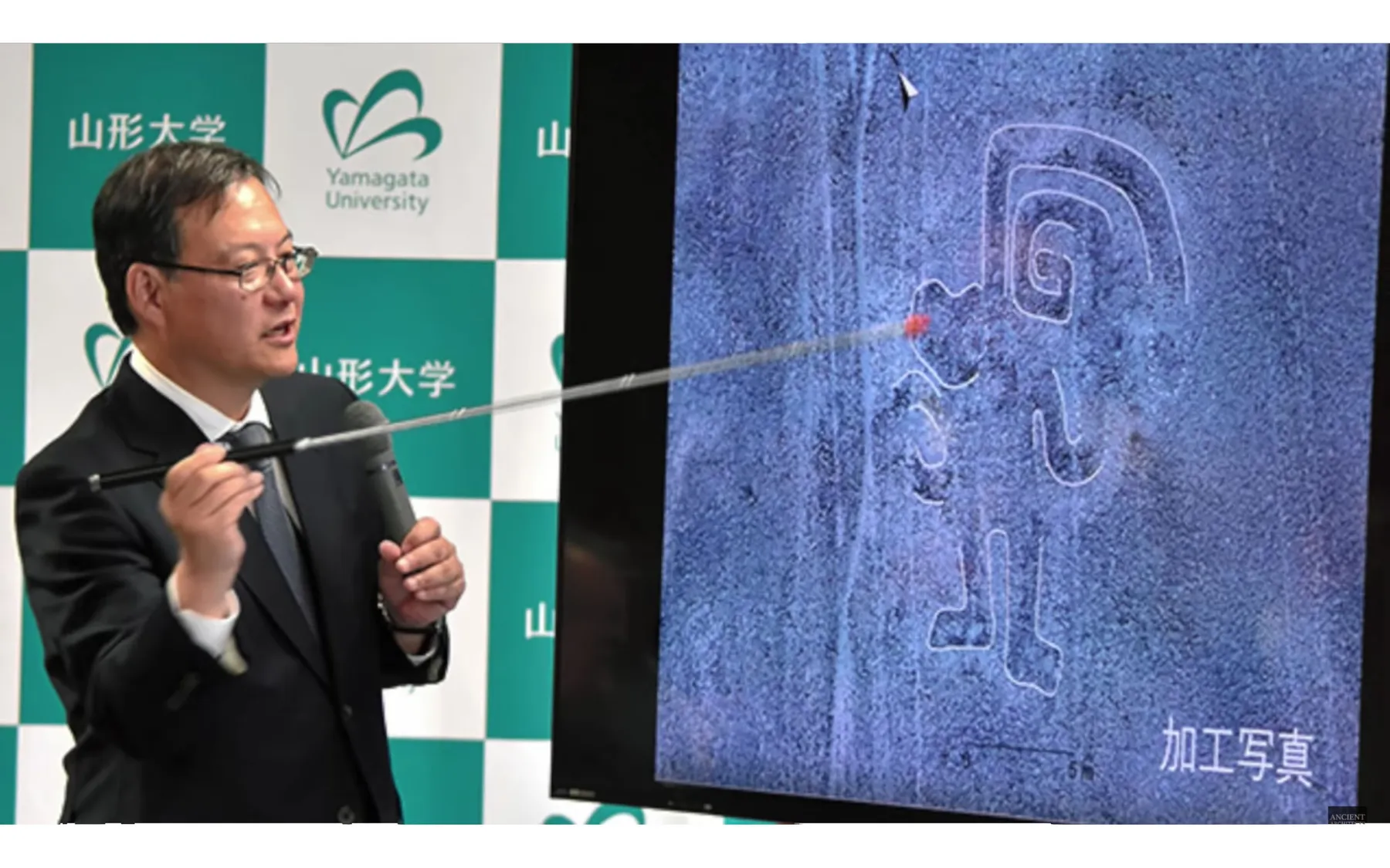
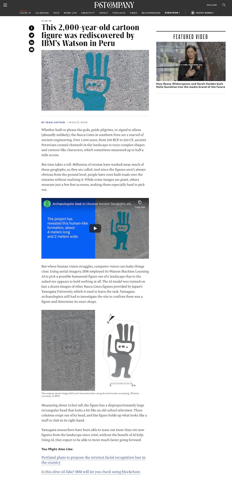
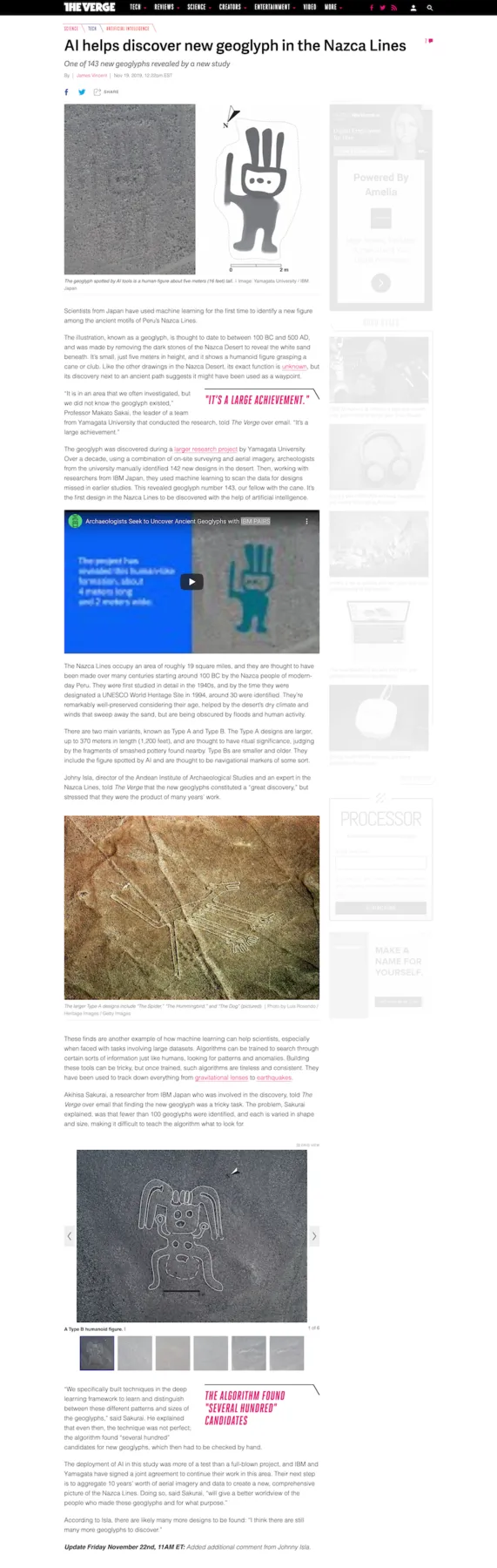
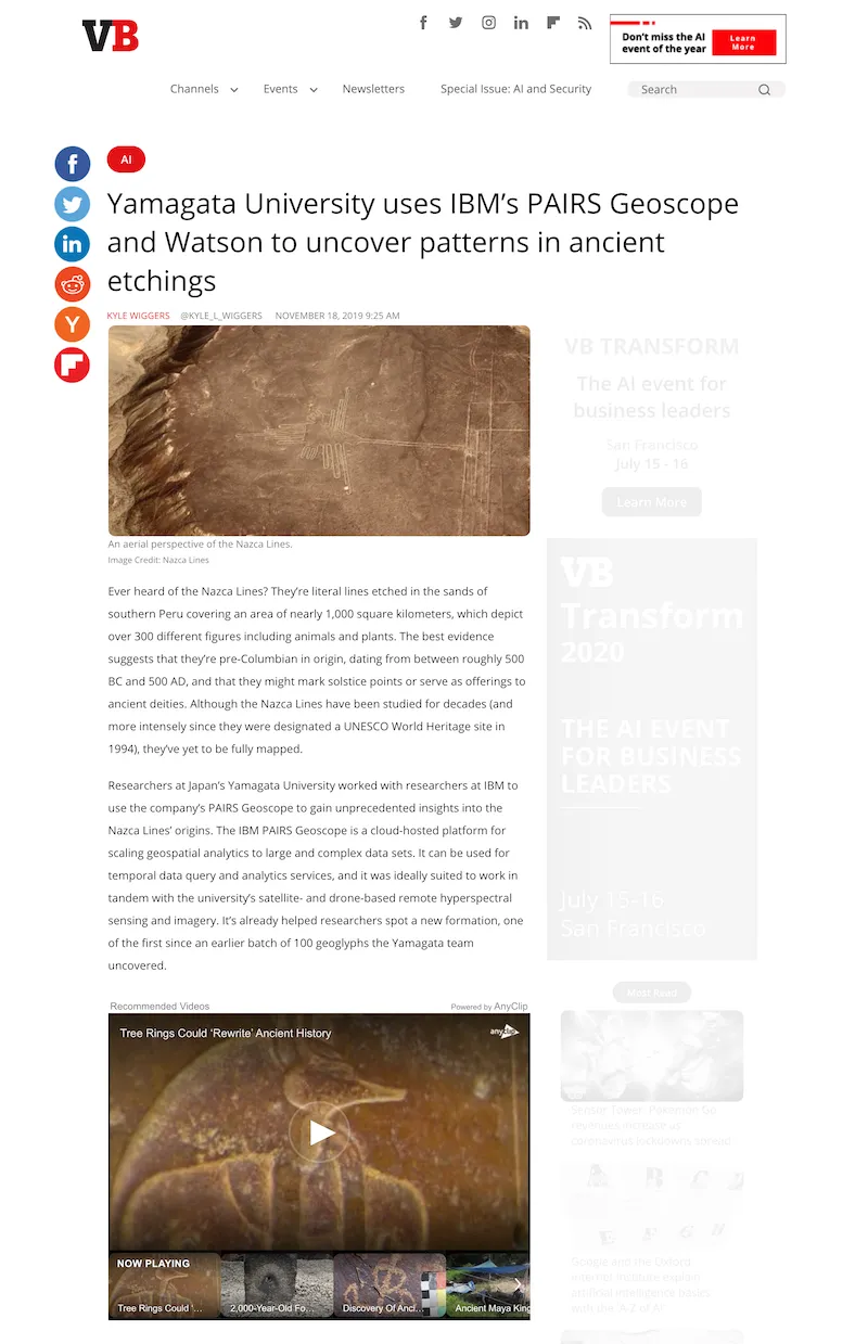
Yamagata University ran IBM’s AI over the platform’s high-resolution aerial layers of the Peruvian desert. They found 143 new geoglyphs, including the first ever discovered by AI.
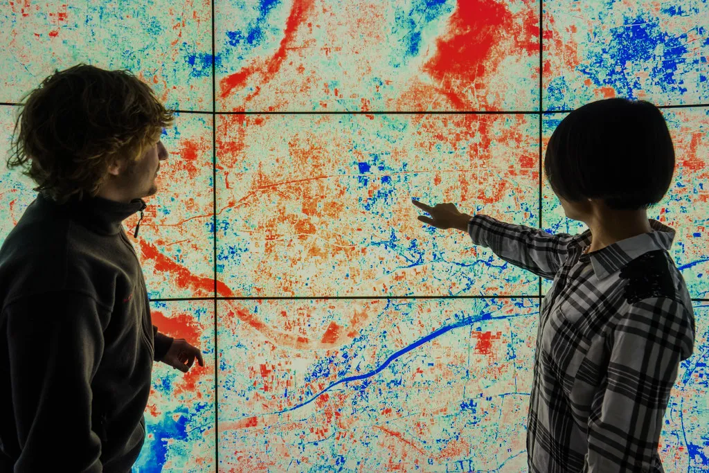
And a lot more
The same AI-powered layers forecast crop yields for agriculture, model weather risk for insurers, and spot vegetation threatening power lines for utilities.
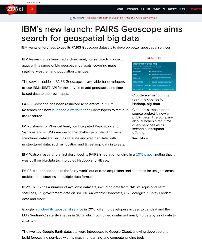
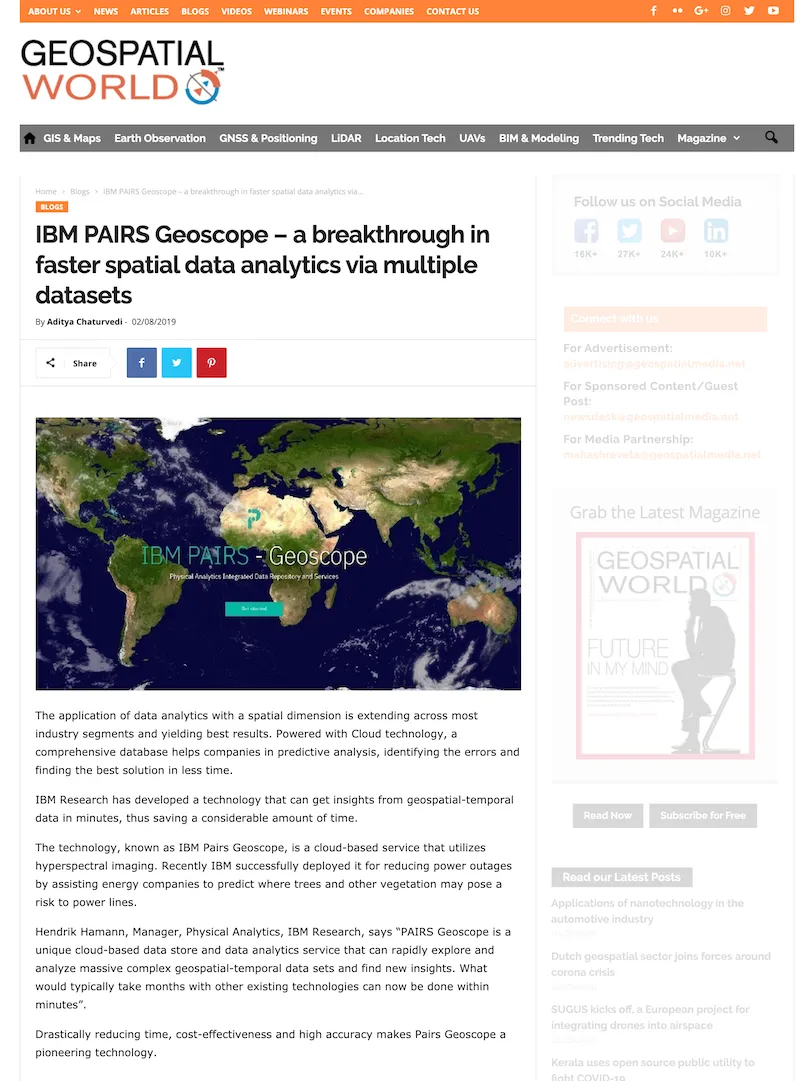
In the press

Next project
Shield AI →